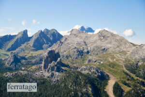
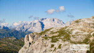
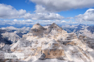
The via ferrata Giovanni Lipella, inaugurated in 1967, is an approximately 3.3-kilometer-long route ascending Tofana di Rozes in the Dolomiti Ampezzane. This Dolomites classic has passages of moderate technical difficulty, with occasional more challenging points. However, due to its length and high-altitude environment, the overall effort is considerable. During the ascent, you are gifted with stunning views towards Lagazuoi and the Fanes mountain group.
Summary
Grade: C/D – view topo
Vertical: 780m ferrata, 1500m total
Time: 1h30min approach, 3h30min ferrata, 2h30min descent, 7h30min total
Access / Parking: 46.5326,12.0703 – Google Maps or any Android maps app
Start via ferrata: 46.5327,12.0443 – Mapy.cz or any Android maps app
Download gpx track
Map and photos
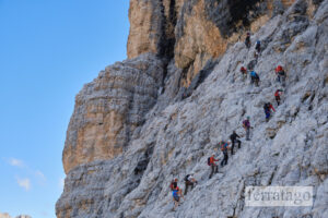
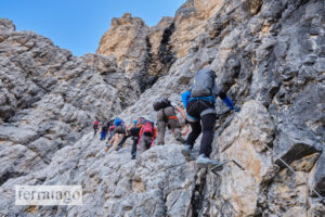
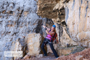
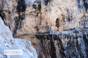
Access
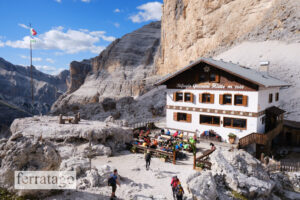
The starting point for the tour is Rifugio Dibona (2083m), accessible via an asphalt road branching off from the road linking Cortina d’Ampezzo with Passo Falzarego. Traveling from Cortina towards Passo Falzarego, follow the road on the right leading to Rifugio Dibona, clearly marked with signs, up to the parking lots near the hut where it becomes steeper and more narrow. Be sure to avoid the right turn along the road leading to Rifugio Duca d’Aosta. Alternatively, you can hike from Passo Falzarego, although this approach entails a longer journey and greater elevation gain.
In high season, on good weather days, the parking lots at Dibona mountain hut can be full as early as 9 a.m., but you can park lower on the access road.
Approach to start
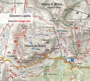
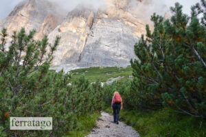
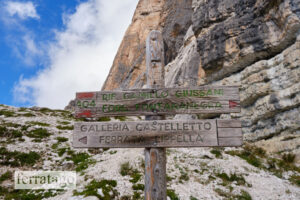
From Rifugio Dibona, head west (left from the hut) following the clear signs. Hike on paths 403, then 404, for about 1h30min, up to Gallerie del Castelletto. At the base of the wall there is an area suitable for gearing up.
The route
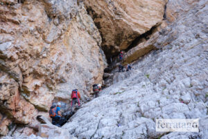
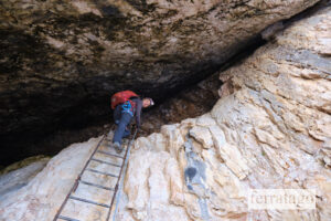
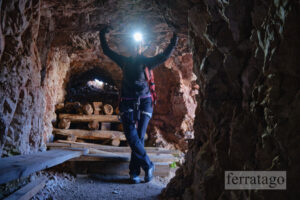
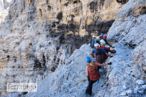
You start with a war tunnel, where a headlamp makes navigation easy and pleasant. After this, the route unfolds with predominantly north-facing, tiered bands akin to floors, interspersed with steep sections that necessitate climbers to ascend from one level to another. At a few points along the route, water drips on the rock walls and can be used to refill your bottles.
Two emergency exits are available along the route: one shortly after the war tunnel, towards Col dei Bos, and the second one halfway up the mountain, at a place marked Tre Dita on maps. The second exit leads to Rifugio Giussani, which serves as a waypoint for the summit descent as well. During our climb in high season, we found the route up to the second exit a bit easier than the last part, and many people used this exit, making the rest of the climb less crowded.
Once the via ferrata cable finishes, we can continue on the regular hiking trail to the summit of Tofana di Rozes at 3225 m. This part can be tiring, as you just finished a long via ferrata already.
Descent
From the summit, we return on the same path. At the junction with the via ferrata, we veer right, following the blue signs that lead us downward to the Giussani Hut (2580m). From here, we continue along path 403, which begins with a steeper incline before transitioning into a pleasant tourist trail nestled between Tofana di Mezzo and Tofana di Rozes. We follow this trail all the way back to Rifugio Dibona.
Good to know
- You’ll need stable weather for this long tour.
- It gets crowded quite early in high season.
- This classic via ferrata in the Dolomites was opened in 1967.
Donation box
I’m trying to keep this site ad free, supported by donations via Buy Me a Coffee or PayPal. I highly appreciate your support, as this encourages me to keep adding new routes.
Video
Weather
Main sources
- bergsteigen.com (German)
- ferrate365.it
- we climbed the route on August 9, 2022
