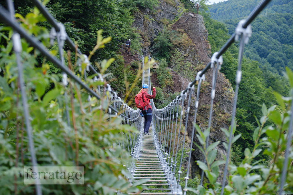
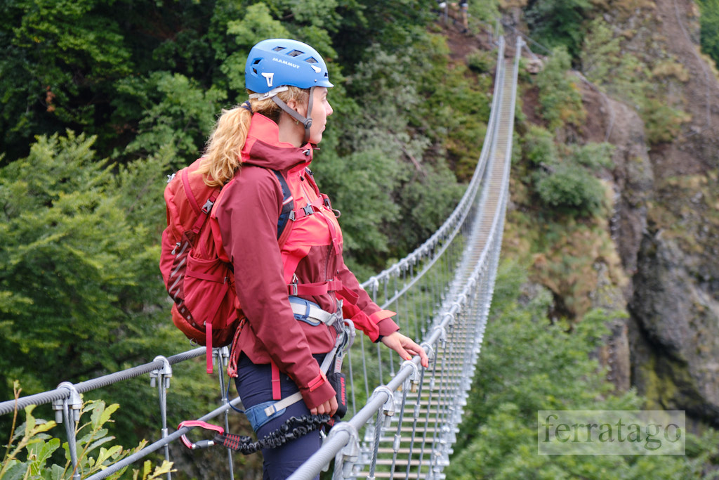
Skalka via ferrata in Slovakia is well-known for its 80-meter-long bridge, which is popular on social media. However, there is much more to explore. Skalka has two clusters of via ferratas: one with more adventure park elements, called Svet, and another designed as a traditional via ferrata circuit, called Komín. This report will focus on Komín. Both clusters can be easily climbed in the same day, as they are accessible on foot from the same parking location.
Summary
Grade: A to E
Vertical: 70m ferrata, 80m total
Time: 15min approach, 1h ferrata, 15min descent, 1h30min total
Access / Parking: 48.7399,18.9918 – Google Maps or any Android maps app
Start via ferrata: 48.7427,18.9978 – Mapy.cz or any Android maps app
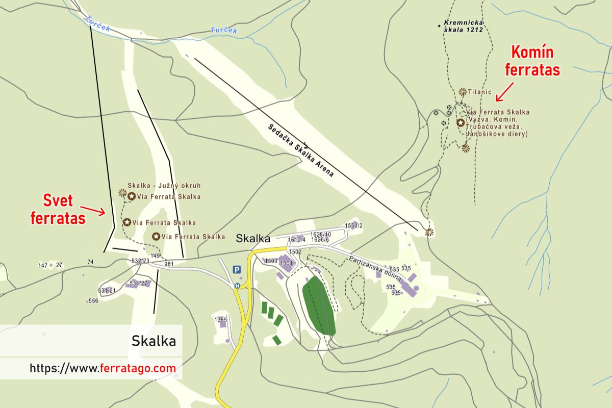
Map and photos
Access
From the town of Kremnica, we drive up to the Skalka resort and park in one of the paid parking areas. The info boards provide information on how to pay for parking using an app on your phone. Another way of paying for parking is by asking inside Penzion Guldiner. The parking spots across this accommodation are also the closest to our routes.
Approach to start
Walk in the direction of the Suchá Hora transmitter tower, then turn left following the path and signs. We cross under the chairlift and continue on through the woods until we reach the start of the via ferratas. An information board shows all the possible routes, with grades and details for each of them.
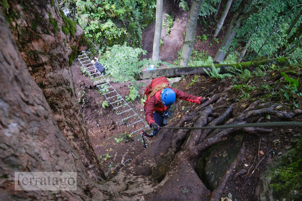
The route
You can choose which routes to climb, but a good circuit starts with the Zostupovka (A/B) via ferrata, which means “Descent,” as you will descend to connect to the other routes. You can continue with:
- Lanová Siet (D), which features a long steel net
- Výzva (E), a challenging route with a few overhanging passages
- or choose the main route, Komín (C), which has B and C variations.
The famous 80-meter-long bridge, called Most, is graded A. It can be accessed after the suggested circuit or right before descending on the Zostupovka via ferrata. In the latter case, you will have to cross the bridge and come back again.
Descent
Follow the clear trailhead signs and get back to the parking lot in about 15 minutes.
Good to know
- Usually closed from late November to June 1st.
- Inaugurated on October 28, 2017.
Donation box
I’m trying to keep this site ad free, supported by donations only via Buy Me a Coffee, PayPal or Bitcoin. Your support is highly appreciated.
Video
Weather
Main sources
- naferraty.sk (Slovak)
- milimundo.com
- projektyprzygodowe.pl (Polish)
- we climbed the route on August 17, 2021